
Thottummal topographic map
Interactive map
Click on the map to display elevation.
About this map
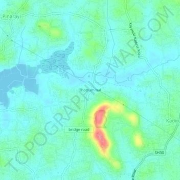
Name: Thottummal topographic map, elevation, terrain.
Location: Thottummal, Kannur district, Kerala, 670741, India (11.77380 75.49259 11.81380 75.53259)
Average elevation: 18 m
Minimum elevation: -1 m
Maximum elevation: 92 m