
Truckee topographic map
Interactive map
Click on the map to display elevation.
About this map
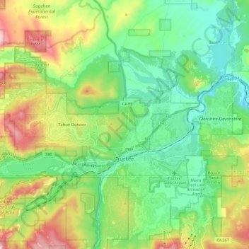
Name: Truckee topographic map, elevation, terrain.
Location: Truckee, Nevada County, California, USA (39.31616 -120.30159 39.38733 -120.07738)
Average elevation: 1,918 m
Minimum elevation: 1,661 m
Maximum elevation: 2,480 m