
羽後町 topographic map
Interactive map
Click on the map to display elevation.
About this map
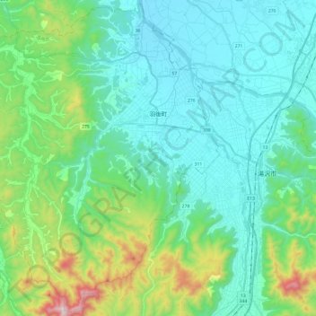
Name: 羽後町 topographic map, elevation, terrain.
Location: 羽後町, 雄勝郡, Präfektur Akita, 012-1241, Japan (39.08227 140.22051 39.26383 140.46018)
Average elevation: 220 m
Minimum elevation: 46 m
Maximum elevation: 896 m