
Thank you for supporting this site ❤️
Make a donation
Make a donation
Nyagui topographic map
Click on the map to display elevation.
Thank you for supporting this site ❤️
Make a donation
Make a donation
About this map
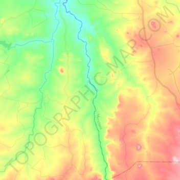
Name: Nyagui topographic map, elevation, terrain.
Location: Nyagui, Goromonzi, Mashonaland East Province, Zimbabwe (-17.92202 31.51577 -17.76142 31.55719)
Average elevation: 1,303 m
Minimum elevation: 1,185 m
Maximum elevation: 1,459 m
Thank you for supporting this site ❤️
Make a donation
Make a donation