
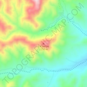
La Sierpe topographic map
Interactive map
Click on the map to display elevation.
About this map
Name: La Sierpe topographic map, elevation, terrain.
Location: La Sierpe, Santa Bárbara, Chihuahua, México (26.79883 -105.84433 26.79893 -105.84423)
Average elevation: 2,080 m
Minimum elevation: 1,954 m
Maximum elevation: 2,307 m