
La Pitala topographic map
Interactive map
Click on the map to display elevation.
About this map
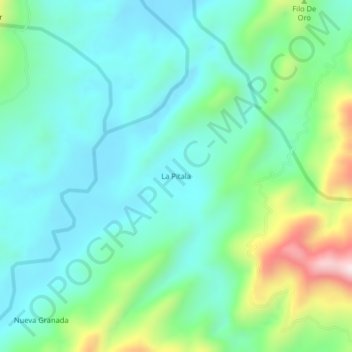
Name: La Pitala topographic map, elevation, terrain.
Location: La Pitala, El Carmen, Santander, Colombia (6.61509 -73.62265 6.65509 -73.58265)
Average elevation: 426 m
Minimum elevation: 298 m
Maximum elevation: 819 m