
Jandrain topographic map
Interactive map
Click on the map to display elevation.
About this map
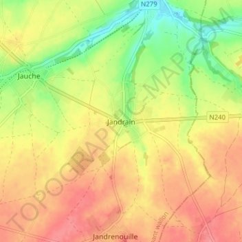
Name: Jandrain topographic map, elevation, terrain.
Average elevation: 111 m
Minimum elevation: 71 m
Maximum elevation: 140 m
Other topographic maps
Click on a map to view its topography, its elevation and its terrain.
Jauche
Belgique > Brabant wallon > Nivelles > Orp-Jauche
Jauche, Orp-Jauche, Nivelles, Brabant wallon, Wallonie, Belgique
Average elevation: 109 m