
Gauripur topographic map
Interactive map
Click on the map to display elevation.
About this map
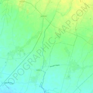
Name: Gauripur topographic map, elevation, terrain.
Location: Gauripur, Arnama, Siraha, Province #2, Nepal (26.67093 86.28195 26.71702 86.31593)
Average elevation: 93 m
Minimum elevation: 84 m
Maximum elevation: 103 m