
Thank you for supporting this site ❤️
Make a donation
Make a donation
Chandkhed topographic map
Click on the map to display elevation.
Thank you for supporting this site ❤️
Make a donation
Make a donation
About this map
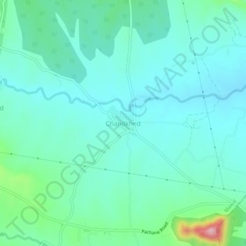
Name: Chandkhed topographic map, elevation, terrain.
Location: Chandkhed, Mawal, Pune, Maharashtra, India (18.62830 73.62882 18.66830 73.66882)
Average elevation: 619 m
Minimum elevation: 579 m
Maximum elevation: 793 m
Thank you for supporting this site ❤️
Make a donation
Make a donation
Other topographic maps
Click on a map to view its topography, its elevation and its terrain.