
Kaka District topographic map
Interactive map
Click on the map to display elevation.
About this map
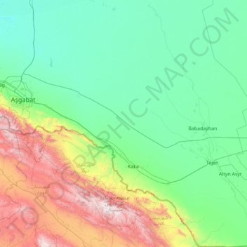
Name: Kaka District topographic map, elevation, terrain.
Location: Kaka District, Ahal Region, Turkmenistan (36.62221 59.08986 38.81160 60.85773)
Average elevation: 547 m
Minimum elevation: 62 m
Maximum elevation: 3,052 m
Other topographic maps
Click on a map to view its topography, its elevation and its terrain.