
Colton topographic map
Click on the map to display elevation.
About this map
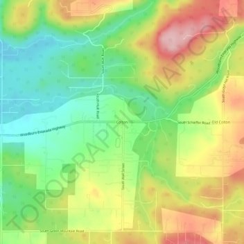
Name: Colton topographic map, elevation, terrain.
Location: Colton, Clackamas County, Oregon, 97017, United States (45.15207 -122.45786 45.19207 -122.41786)
Average elevation: 228 m
Minimum elevation: 142 m
Maximum elevation: 336 m