
Granger topographic map
Interactive map
Click on the map to display elevation.
About this map
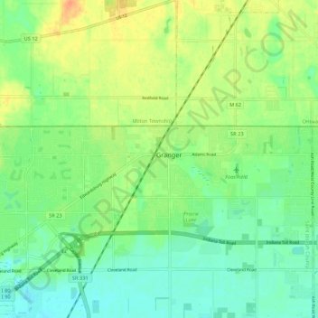
Name: Granger topographic map, elevation, terrain.
Location: Granger, Saint Joseph County, Indiana, 46530, USA (41.71227 -86.15420 41.79227 -86.07420)
Average elevation: 243 m
Minimum elevation: 228 m
Maximum elevation: 266 m