
Nathan topographic map
Interactive map
Click on the map to display elevation.
About this map
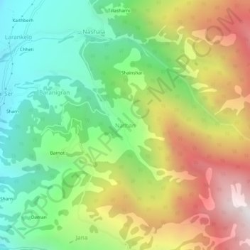
Name: Nathan topographic map, elevation, terrain.
Location: Nathan, Kullu, Kullu District, Himachal Pradesh, 175104, India (32.05626 77.14494 32.09626 77.18494)
Average elevation: 2,193 m
Minimum elevation: 1,456 m
Maximum elevation: 3,252 m
Other topographic maps
Click on a map to view its topography, its elevation and its terrain.