
Tamu District topographic map
Interactive map
Click on the map to display elevation.
About this map
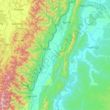
Name: Tamu District topographic map, elevation, terrain.
Location: Tamu District, Sagaing Region, Myanmar (23.64511 94.12806 24.73014 94.64039)
Average elevation: 523 m
Minimum elevation: 97 m
Maximum elevation: 2,598 m
Other topographic maps
Click on a map to view its topography, its elevation and its terrain.