
Kennebunkport topographic map
Interactive map
Click on the map to display elevation.
About this map
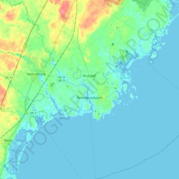
Name: Kennebunkport topographic map, elevation, terrain.
Location: Kennebunkport, York County, Maine, 04046, United States (43.28641 -70.49286 43.45246 -70.34618)
Average elevation: 12 m
Minimum elevation: -5 m
Maximum elevation: 67 m