
Kanda topographic map
Click on the map to display elevation.
About this map
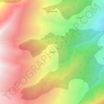
Name: Kanda topographic map, elevation, terrain.
Location: Kanda, Sangla, Kinnaur District, Himachal Pradesh, India (31.45067 78.13392 31.49067 78.17392)
Average elevation: 3,128 m
Minimum elevation: 1,951 m
Maximum elevation: 4,183 m
Other topographic maps
Click on a map to view its topography, its elevation and its terrain.