
Thank you for supporting this site ❤️
Make a donation
Make a donation
Kaiyo topographic map
Click on the map to display elevation.
Thank you for supporting this site ❤️
Make a donation
Make a donation
About this map
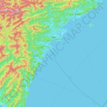
Name: Kaiyo topographic map, elevation, terrain.
Location: Kaiyo, Kaifu County, Tokushima Prefecture, Japan (33.33081 134.14925 33.73253 134.57316)
Average elevation: 210 m
Minimum elevation: -1 m
Maximum elevation: 1,400 m
Thank you for supporting this site ❤️
Make a donation
Make a donation