
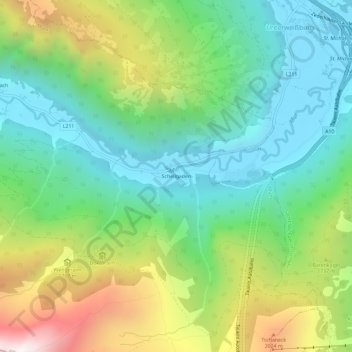
Schellgaden topographic map
Interactive map
Click on the map to display elevation.
About this map
Name: Schellgaden topographic map, elevation, terrain.
Location: Schellgaden, Muhr, Bezirk Tamsweg, Salzburg, 5583, Oostenrijk (47.05928 13.56003 47.09928 13.60003)
Average elevation: 1,510 m
Minimum elevation: 1,054 m
Maximum elevation: 2,435 m