
Les Brenets topographic map
Interactive map
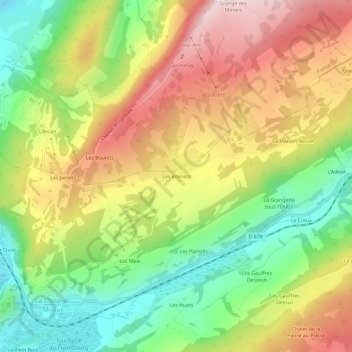
Click on the map to display elevation.
About this map
Name: Les Brenets topographic map, elevation, terrain.
Average elevation: 1,027 m
Minimum elevation: 839 m
Maximum elevation: 1,238 m
Other topographic maps
Click on a map to view its topography, its elevation and its terrain.
Les Brenets
France > Bourgogne-Franche-Comté > Les Brenets
Les Brenets, Château-Chinon, Nièvre, Bourgogne-Franche-Comté, France métropolitaine, 58430, France
Average elevation: 638 m