
Rodels topographic map
Interactive map
Click on the map to display elevation.
About this map
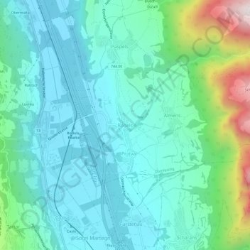
Name: Rodels topographic map, elevation, terrain.
Location: Rodels, Domleschg, Viamala, Graubünden, 7415, Schweiz (46.71607 9.42534 46.75607 9.46534)
Average elevation: 831 m
Minimum elevation: 621 m
Maximum elevation: 1,636 m