
Spanga topographic map
Interactive map
Click on the map to display elevation.
About this map
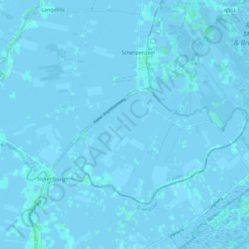
Name: Spanga topographic map, elevation, terrain.
Location: Spanga, Weststellingwerf, Friesland, Nederland (52.80072 5.82415 52.83441 5.91197)
Average elevation: 0 m
Minimum elevation: -4 m
Maximum elevation: 4 m
Other topographic maps
Click on a map to view its topography, its elevation and its terrain.
Noordwolde
Nederland > Friesland > Weststellingwerf > Noordwolde
Noordwolde, Weststellingwerf, Friesland, Nederland
Average elevation: 4 m
Oldeholtwolde
Nederland > Friesland > Weststellingwerf
Oldeholtwolde, Weststellingwerf, Friesland, Nederland
Average elevation: 0 m