
Thank you for supporting this site ❤️
Make a donation
Make a donation
Carriage Lane topographic map
Click on the map to display elevation.
Thank you for supporting this site ❤️
Make a donation
Make a donation
About this map
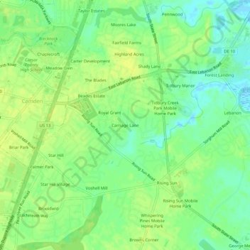
Name: Carriage Lane topographic map, elevation, terrain.
Location: Carriage Lane, Kent County, Delaware, 19962, United States (39.08956 -75.54270 39.12956 -75.50270)
Average elevation: 10 m
Minimum elevation: -4 m
Maximum elevation: 16 m
Thank you for supporting this site ❤️
Make a donation
Make a donation