
Thank you for supporting this site ❤️
Make a donation
Make a donation
Yates Lake topographic map
Click on the map to display elevation.
Thank you for supporting this site ❤️
Make a donation
Make a donation
About this map
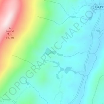
Name: Yates Lake topographic map, elevation, terrain.
Location: Yates Lake, Walker County, Georgia, United States (34.83131 -85.39161 34.83141 -85.39151)
Average elevation: 356 m
Minimum elevation: 244 m
Maximum elevation: 693 m
Thank you for supporting this site ❤️
Make a donation
Make a donation
Other topographic maps
Click on a map to view its topography, its elevation and its terrain.