
Thank you for supporting this site ❤️
Make a donation
Make a donation
Rekawa topographic map
Click on the map to display elevation.
Thank you for supporting this site ❤️
Make a donation
Make a donation
About this map
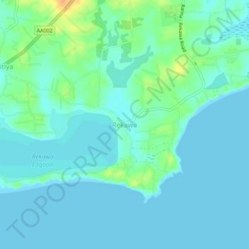
Name: Rekawa topographic map, elevation, terrain.
Location: Rekawa, Hambantota District, Southern Province, 82135, Sri Lanka (6.03485 80.83736 6.07485 80.87736)
Average elevation: 7 m
Minimum elevation: -1 m
Maximum elevation: 32 m
Thank you for supporting this site ❤️
Make a donation
Make a donation
Other topographic maps
Click on a map to view its topography, its elevation and its terrain.