
Make a donation
Nawakheda topographic map
Click on the map to display elevation.
Make a donation
About this map
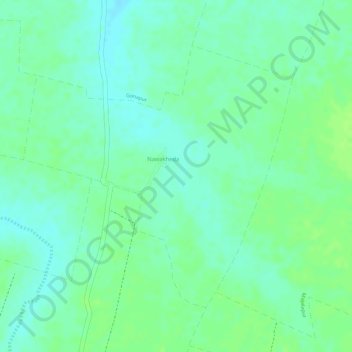
Name: Nawakheda topographic map, elevation, terrain.
Location: Nawakheda, Akola, Maharashtra, India (20.78526 77.13520 20.80536 77.15729)
Average elevation: 270 m
Minimum elevation: 263 m
Maximum elevation: 275 m
Make a donation
Other topographic maps
Click on a map to view its topography, its elevation and its terrain.
Kalasubai peak
India > Maharashtra > Akola
Kalsubai (Marathi: कळसूबाई शिखर) is a mountain in the Western Ghats, located in the Indian state of Maharashtra. Its summit, situated at an elevation of 1,646 metres (5,400 ft), is the highest point in Maharashtra.
Average elevation: 1,210 m
Make a donation
Make a donation
Make a donation
Akole
India > Maharashtra > Akola
Kalsubai is the highest peak in Maharashtra, with an elevation of 1,646 meters (5,400 feet). Ghatghar, located 22 kilometers (14 miles) from Bhandardara, offers views of the Sahyadri range and is the site of the Udanchan Hydro-power project's first installation, which has a capacity of 250 MW. Additionally,…
Average elevation: 749 m
Make a donation
Kalasubai peak
India > Maharashtra > Akola
Kalsubai (Marathi: कळसूबाई शिखर) is a mountain in the Western Ghats, located in the Indian state of Maharashtra. Its summit, situated at an elevation of 1,646 metres (5,400 ft), is the highest point in Maharashtra.
Average elevation: 1,210 m