
Thank you for supporting this site ❤️
Make a donation
Make a donation
Bosworth topographic map
Click on the map to display elevation.
Thank you for supporting this site ❤️
Make a donation
Make a donation
About this map
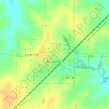
Name: Bosworth topographic map, elevation, terrain.
Location: Bosworth, Carroll County, Missouri, 64623, United States (39.46429 -93.34706 39.47871 -93.32701)
Average elevation: 232 m
Minimum elevation: 215 m
Maximum elevation: 246 m
Thank you for supporting this site ❤️
Make a donation
Make a donation
Other topographic maps
Click on a map to view its topography, its elevation and its terrain.