
Oostbroek topographic map
Interactive map
Click on the map to display elevation.
About this map
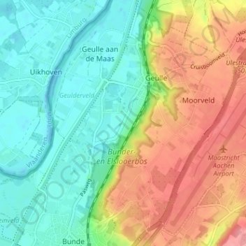
Name: Oostbroek topographic map, elevation, terrain.
Average elevation: 73 m
Minimum elevation: 36 m
Maximum elevation: 127 m
Other topographic maps
Click on a map to view its topography, its elevation and its terrain.
Kasteel Geulle
Nederland > Limburg > Geulle aan de Maas > Broekhoven
Kasteel Geulle, Geulderlei, Broekhoven, Geulle aan de Maas, Geulle, Meerssen, Limburg, Nederland, 6243 NG, Nederland
Average elevation: 56 m