
Trabadelo topographic map
Interactive map
Click on the map to display elevation.
About this map
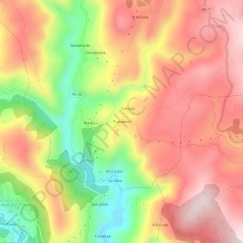
Name: Trabadelo topographic map, elevation, terrain.
Location: Trabadelo, Villanueva de Oscos, Asturias, 33777, España (43.25243 -7.01598 43.29243 -6.97598)
Average elevation: 698 m
Minimum elevation: 433 m
Maximum elevation: 888 m
Other topographic maps
Click on a map to view its topography, its elevation and its terrain.
Curiscada
España > Asturias > Villanueva de Oscos > A Ovellariza
Curiscada, A Ovellariza, Villanueva de Oscos, Asturias, 33777, España
Average elevation: 790 m