
Thank you for supporting this site ❤️
Make a donation
Make a donation
Tanyfron topographic map
Click on the map to display elevation.
Thank you for supporting this site ❤️
Make a donation
Make a donation
About this map
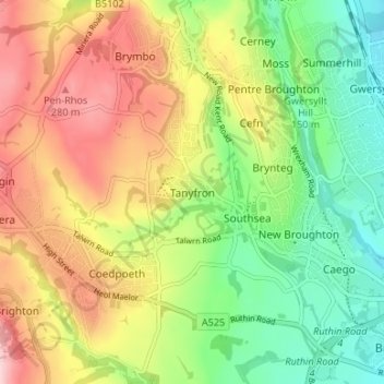
Name: Tanyfron topographic map, elevation, terrain.
Location: Tanyfron, Wrexham, Wales, LL11 5SB, United Kingdom (53.04240 -3.07086 53.08240 -3.03086)
Average elevation: 178 m
Minimum elevation: 81 m
Maximum elevation: 298 m
Thank you for supporting this site ❤️
Make a donation
Make a donation