
Thank you for supporting this site ❤️
Make a donation
Make a donation
Blue Rock topographic map
Click on the map to display elevation.
Thank you for supporting this site ❤️
Make a donation
Make a donation
About this map
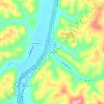
Name: Blue Rock topographic map, elevation, terrain.
Location: Blue Rock, Muskingum County, Ohio, 43720, United States (39.78007 -81.91152 39.82007 -81.87152)
Average elevation: 253 m
Minimum elevation: 200 m
Maximum elevation: 337 m
Thank you for supporting this site ❤️
Make a donation
Make a donation