
Sutton topographic map
Click on the map to display elevation.
About this map
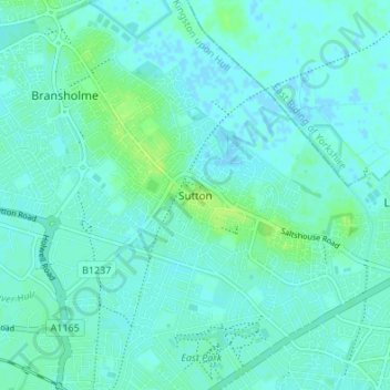
Name: Sutton topographic map, elevation, terrain.
Location: Sutton, Kingston upon Hull, England, HU7 4UF, United Kingdom (53.76108 -0.32472 53.80108 -0.28472)
Average elevation: 3 m
Minimum elevation: -1 m
Maximum elevation: 10 m