
Thank you for supporting this site ❤️
Make a donation
Make a donation
Brooklyn Heights topographic map
Click on the map to display elevation.
Thank you for supporting this site ❤️
Make a donation
Make a donation
About this map
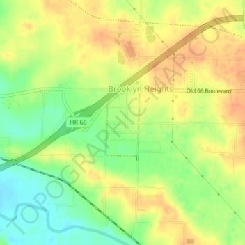
Name: Brooklyn Heights topographic map, elevation, terrain.
Location: Brooklyn Heights, Jasper County, Missouri, United States (37.16597 -94.38797 37.17324 -94.38329)
Average elevation: 300 m
Minimum elevation: 277 m
Maximum elevation: 317 m
Thank you for supporting this site ❤️
Make a donation
Make a donation
Other topographic maps
Click on a map to view its topography, its elevation and its terrain.