
Río Bravo topographic map
Interactive map
Click on the map to display elevation.
About this map
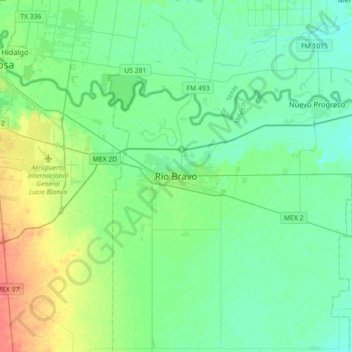
Name: Río Bravo topographic map, elevation, terrain.
Location: Río Bravo, Tamaulipas, 88900, México (25.82898 -98.25458 26.14898 -97.93458)
Average elevation: 31 m
Minimum elevation: 18 m
Maximum elevation: 69 m