
ທ່າແປ້ນ topographic map
Interactive map
Click on the map to display elevation.
About this map
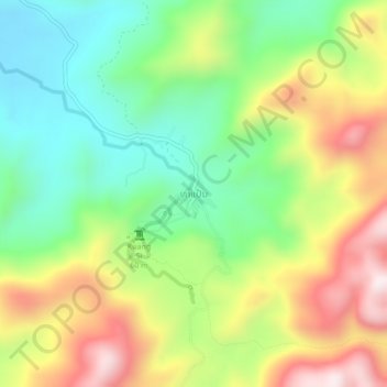
Name: ທ່າແປ້ນ topographic map, elevation, terrain.
Location: ທ່າແປ້ນ, ເມືອງຫຼວງພະບາງ, Province de Louangphabang, Laos (19.73312 101.97737 19.77312 102.01737)
Average elevation: 561 m
Minimum elevation: 295 m
Maximum elevation: 937 m