
Uppal topographic map
Interactive map
Click on the map to display elevation.
About this map
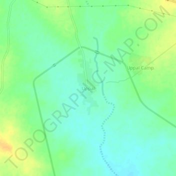
Name: Uppal topographic map, elevation, terrain.
Location: Uppal, Aiza mandal, Jogulamba Gadwal, Telangana, 509127, India (15.95534 77.65968 15.99534 77.69968)
Average elevation: 322 m
Minimum elevation: 311 m
Maximum elevation: 338 m
Other topographic maps
Click on a map to view its topography, its elevation and its terrain.