
Manneguda topographic map
Interactive map
Click on the map to display elevation.
About this map
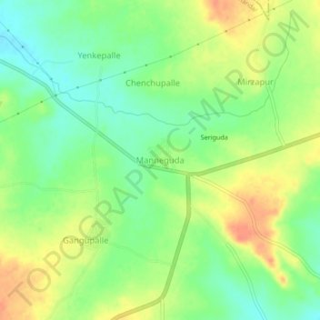
Name: Manneguda topographic map, elevation, terrain.
Location: Manneguda, Pudur mandal, Vikarabad, Telangana, 501101, India (17.27833 77.96135 17.31833 78.00135)
Average elevation: 664 m
Minimum elevation: 643 m
Maximum elevation: 687 m