
Thank you for supporting this site ❤️
Make a donation
Make a donation
Ulfborg topographic map
Click on the map to display elevation.
Thank you for supporting this site ❤️
Make a donation
Make a donation
About this map
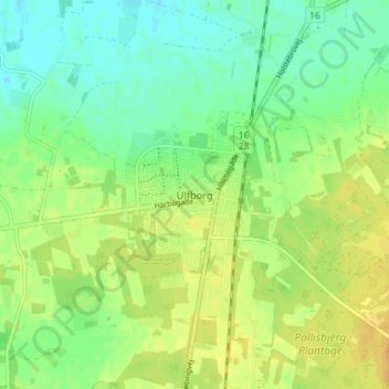
Name: Ulfborg topographic map, elevation, terrain.
Location: Ulfborg, Holstebro Municipality, Central Denmark Region, Denmark (56.25236 8.29665 56.29236 8.33665)
Average elevation: 13 m
Minimum elevation: -1 m
Maximum elevation: 28 m
Thank you for supporting this site ❤️
Make a donation
Make a donation
Other topographic maps
Click on a map to view its topography, its elevation and its terrain.