
Banga topographic map
Click on the map to display elevation.
About this map
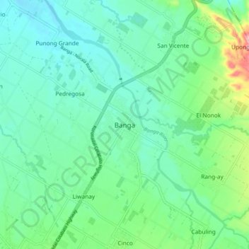
Name: Banga topographic map, elevation, terrain.
Location: Banga, South Cotabato, Soccsksargen, 9511, Philippines (6.38323 124.73616 6.46323 124.81616)
Average elevation: 171 m
Minimum elevation: 129 m
Maximum elevation: 311 m