
Weißer Stein topographic map
Interactive map
Click on the map to display elevation.
About this map
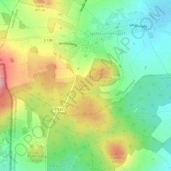
Name: Weißer Stein topographic map, elevation, terrain.
Location: Weißer Stein, Leutersdorf, Görlitz, Saksen, 02794, Duitsland (50.92812 14.67065 50.92822 14.67075)
Average elevation: 393 m
Minimum elevation: 324 m
Maximum elevation: 495 m