
Thank you for supporting this site ❤️
Make a donation
Make a donation
Soraba topographic map
Click on the map to display elevation.
Thank you for supporting this site ❤️
Make a donation
Make a donation
About this map
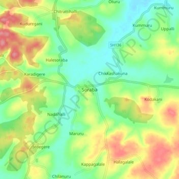
Name: Soraba topographic map, elevation, terrain.
Location: Soraba, Soraba taluk, Shimoga, Karnataka, 577429, India (14.33898 75.05378 14.41898 75.13378)
Average elevation: 601 m
Minimum elevation: 566 m
Maximum elevation: 652 m
Thank you for supporting this site ❤️
Make a donation
Make a donation