
Perkins topographic map
Interactive map
Click on the map to display elevation.
About this map
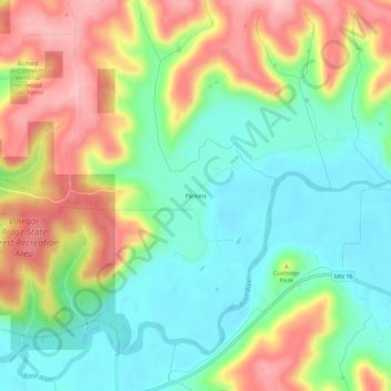
Name: Perkins topographic map, elevation, terrain.
Location: Perkins, Houston County, Minnesota, USA (43.76302 -91.66431 43.80302 -91.62431)
Average elevation: 273 m
Minimum elevation: 203 m
Maximum elevation: 377 m