
Ninam topographic map
Click on the map to display elevation.
About this map
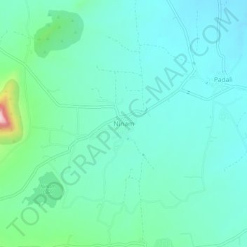
Name: Ninam topographic map, elevation, terrain.
Location: Ninam, Satara, Satara District, Maharashtra, 415519, India (17.55508 73.97902 17.59508 74.01902)
Average elevation: 690 m
Minimum elevation: 628 m
Maximum elevation: 960 m
Other topographic maps
Click on a map to view its topography, its elevation and its terrain.
Ajinkyatara Fort
India > Maharashtra > Satara > Satara
Ajinkyatara Fort, also known as the "Fort of the Sapta-Rishi," is a historical hill fort located on Ajinkyatara Mountain, one of the seven mountains surrounding the city of Satara in the Sahyadri Mountains of Maharashtra, India. Situated at an altitude of 3,300 feet, the fort overlooks Satara City and is…
Average elevation: 764 m