
Bongara topographic map
Interactive map
Click on the map to display elevation.
About this map
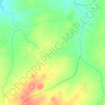
Name: Bongara topographic map, elevation, terrain.
Location: Bongara, Shelleng, Adamawa, Nigeria (10.17392 12.24528 10.21392 12.28528)
Average elevation: 547 m
Minimum elevation: 495 m
Maximum elevation: 618 m