
Rögla topographic map
Interactive map
Click on the map to display elevation.
About this map
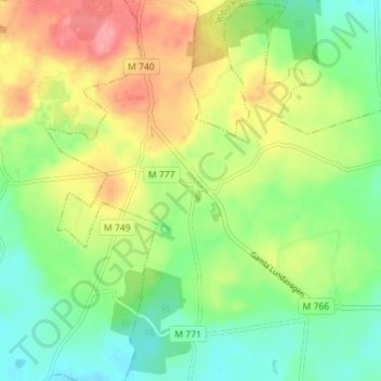
Name: Rögla topographic map, elevation, terrain.
Location: Rögla, Ystad, Provincia de Escania, Götaland, 27191, Suecia (55.48376 13.65031 55.52376 13.69031)
Average elevation: 85 m
Minimum elevation: 46 m
Maximum elevation: 142 m