
simoli topographic map
Click on the map to display elevation.
About this map
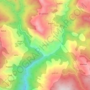
Name: simoli topographic map, elevation, terrain.
Location: simoli, Ranikhet, Almora District, Uttarakhand, 263678, India (29.59186 79.49426 29.63186 79.53426)
Average elevation: 1,575 m
Minimum elevation: 1,181 m
Maximum elevation: 1,900 m