
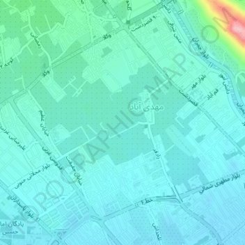
Mahdi Abad topographic map
Interactive map
Click on the map to display elevation.
About this map
Name: Mahdi Abad topographic map, elevation, terrain.
Average elevation: 1,593 m
Minimum elevation: 1,570 m
Maximum elevation: 1,735 m
Other topographic maps
Click on a map to view its topography, its elevation and its terrain.
Pasdaran
Iran > Fars Province > Shiraz County > Shiraz
Pasdaran, zone 1, Shiraz, Shiraz Central District, Shiraz County, Fars Province, Iran
Average elevation: 1,572 m