
Thank you for supporting this site ❤️
Make a donation
Make a donation
Baggi topographic map
Click on the map to display elevation.
Thank you for supporting this site ❤️
Make a donation
Make a donation
About this map
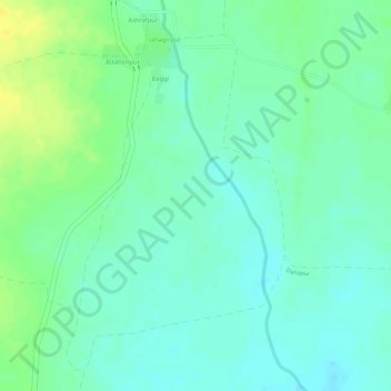
Name: Baggi topographic map, elevation, terrain.
Location: Baggi, Chandur Railway, Amravati, Maharashtra, India (20.69643 77.98347 20.72061 77.99958)
Average elevation: 286 m
Minimum elevation: 276 m
Maximum elevation: 299 m
Thank you for supporting this site ❤️
Make a donation
Make a donation