
Dirschau topographic map
Interactive map
Click on the map to display elevation.
About this map
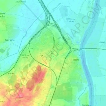
Name: Dirschau topographic map, elevation, terrain.
Location: Dirschau, powiat tczewski, Woiwodschaft Pommern, 83-110, Polen (54.06077 18.74265 54.12066 18.82058)
Average elevation: 21 m
Minimum elevation: -2 m
Maximum elevation: 77 m