
Roseville topographic map
Interactive map
Click on the map to display elevation.
About this map
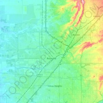
Name: Roseville topographic map, elevation, terrain.
Location: Roseville, Placer County, Califórnia, Estados Unidos (38.71635 -121.40025 38.81016 -121.18416)
Average elevation: 61 m
Minimum elevation: 23 m
Maximum elevation: 190 m