
Thank you for supporting this site ❤️
Make a donation
Make a donation
Dongdaemun-gu topographic map
Click on the map to display elevation.
Thank you for supporting this site ❤️
Make a donation
Make a donation
About this map
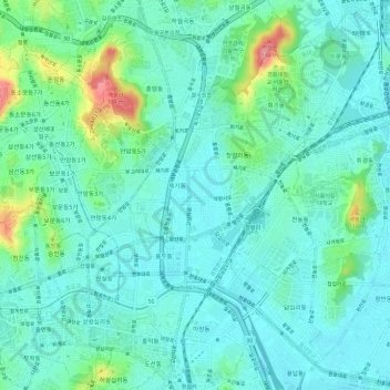
Name: Dongdaemun-gu topographic map, elevation, terrain.
Location: Dongdaemun-gu, Seoul, South Korea (37.56002 127.02318 37.60683 127.07851)
Average elevation: 36 m
Minimum elevation: 10 m
Maximum elevation: 135 m
Thank you for supporting this site ❤️
Make a donation
Make a donation